A detailed review of the business, leadership and publicly reported progress. Sources checked September 8, 2026.
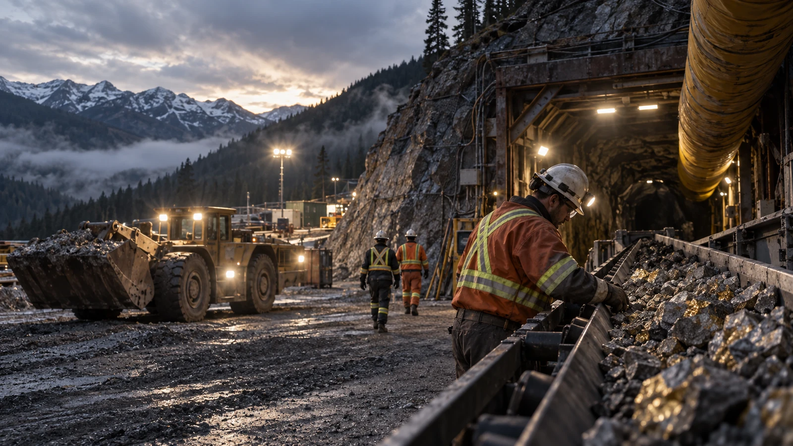
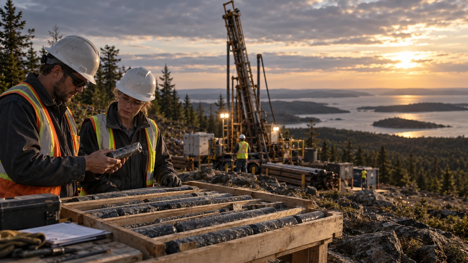
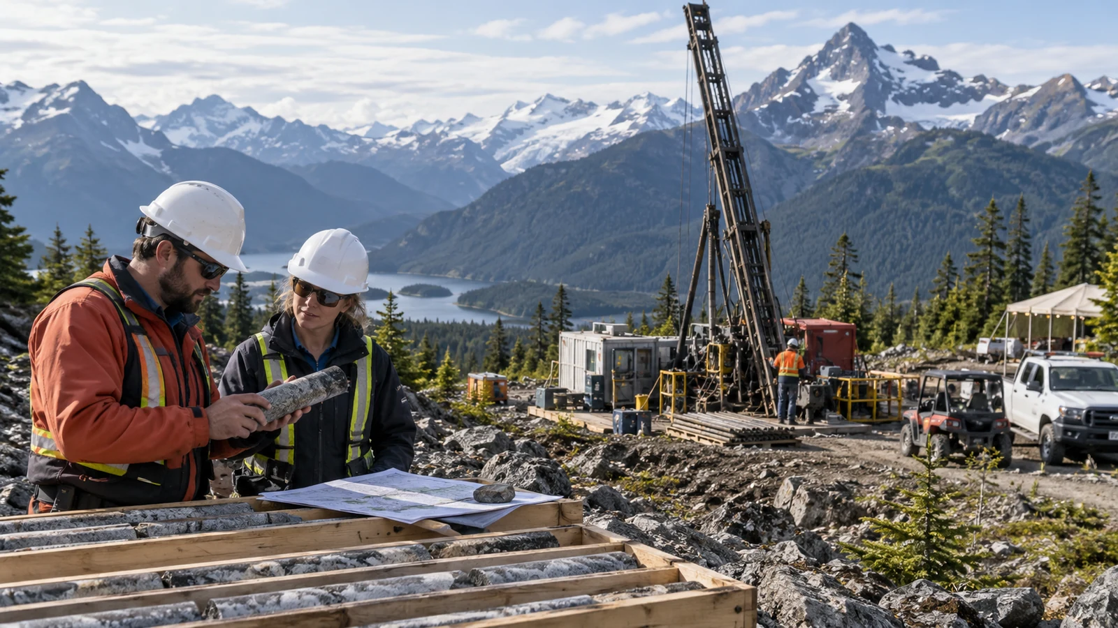
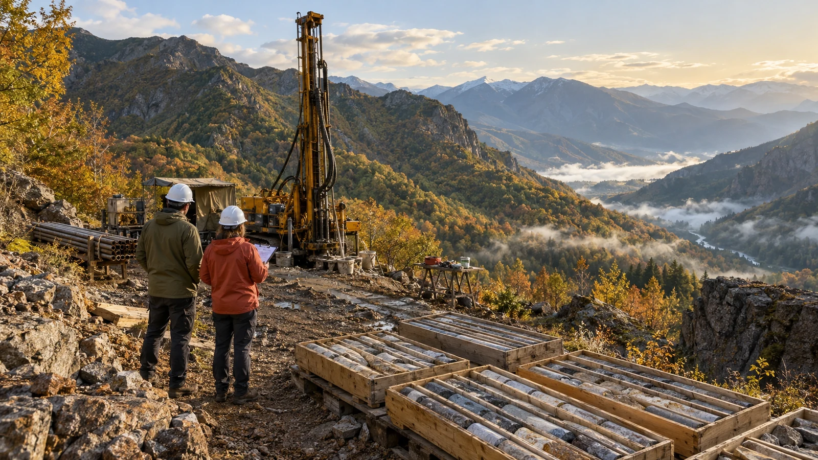
Conceptual editorial illustration; not a photograph of company assets or personnel.
- Two Urasar holes totaling 1,070 meters were completed in the 2026 program.
- Geophysics, earlier copper results and new core observations inform the exploration model.
- Assays were expected in mid-October; geological observations remain subject to laboratory confirmation.
An exploration company building a better geological picture
Hayasa Metals is advancing exploration in Armenia, with Urasar providing a useful example of how a mineral project develops through successive layers of information. The district lies in the country’s northern Lesser Caucasus region. The company describes a broad mineralized corridor along the Yellow River and Black River valleys, with historical workings and access routes that provide a starting point for modern fieldwork.
The relevant attraction is the opportunity to revisit a district with better targeting tools and a more integrated geological interpretation. Historical records, mapped alteration, geochemical samples and new drilling can each contribute something different. None alone proves an economic deposit. Together, they can help the team choose where the next meter of drilling has the best chance of answering a useful question. Urasar is therefore best understood as an active exploration program whose value develops through evidence, rather than as a mine already defined for production.
Sources: [4]
Two completed holes create a clear next information window
On September 4, Hayasa reported completion of 1,070 meters of drilling across holes UDD022 and UDD023, exceeding the approximately 1,000 meters originally scheduled. The holes tested the Oxide Basin and Silica West areas in western Urasar. The company described alteration, veining and sulfide minerals that it interprets as consistent with a porphyry-style system.
The completed drilling is a concrete operational milestone. The geological observations remain an interpretation until laboratory results establish the relevant metal concentrations. Hayasa said assays were expected in mid-October, giving readers a defined information window to record. The release also said a license-extension process was pending, so the renewal should be followed as a separate administrative milestone. The constructive story is that the field program has moved from a planned test to recovered core, with analytical work now positioned to refine the next exploration decision.
Sources: [1]
Geophysics helps connect the surface to depth
Hayasa’s June update described an audio-magnetotelluric survey conducted by Terratec. The program used six lines and 53 stations, extending earlier orientation work. Four lines covered the western Yellow River area, while two addressed the eastern Black River and Brick House areas. The survey was intended to help interpret structures and subsurface resistivity in combination with the geological work already completed.
AMT data does not measure a gold or copper grade directly. Its value is in helping build a picture of what may lie beneath the surface and how different geological features connect. In this setting, the interesting part is the integration: a geophysical response can be compared with mapped alteration, surface geochemistry and previous drilling. Our interpretation is that this is a more disciplined basis for selecting targets than treating every isolated anomaly as equally important. The goal is a coherent explanation that can be tested with a drill hole.
Sources: [2]
The earlier copper intercept gives the new work context
The April 2 release reported a 39-meter interval grading 0.50% copper in UDD021, from 11 to 50 meters downhole. The late-season hole had ended at 235 meters after winter conditions limited the program. Its result helped frame the rationale for additional testing and a deeper look at the geological system. The interval is a reported drill intersection, not an established true width of a deposit.
That distinction makes the result more useful, not less. An explorer needs to understand the position and geometry of mineralization before it can extrapolate confidently. Hayasa also described analytical quality-control procedures involving accredited laboratory work, standards, blanks and duplicates. Such procedures give the technical team a basis for checking the reliability of the measurements that guide later decisions. A successful exploration process combines promising geological observations with repeatable sampling and analysis, allowing the model to improve as new information arrives.
Sources: [3]
A team combining field experience with local execution
Hayasa’s management includes president and founder Dennis Moore, chief executive Joel Sutherland, chief financial officer Kristina Mishina and country manager Hovhannes Karapetyan. Moore’s background is in exploration geology; Sutherland brings capital-markets and financial experience. Karapetyan contributes regional geological knowledge and local operational leadership.
Those functions matter in different ways. Geological experience helps define the question a drill program should answer. Local management helps turn that plan into access, contractor coordination, sampling and day-to-day execution. Financial leadership has to match the scope of work to the resources available. Our reading is that an exploration team is strongest when these responsibilities remain connected: a technically interesting target must also be feasible to test, and a completed program must generate information that genuinely improves the next decision. Hayasa’s structure gives readers identifiable people to associate with each part of that process.
Sources: [5]
What to look for when the laboratory work arrives
The next useful step is to compare the new assays with the model that guided the holes. Readers should look for where mineralized intervals occur, how they relate to alteration and structure, and whether the two holes support a consistent interpretation. Individual grades are more informative when presented with interval lengths, location and geological context.
Our perspective is that Hayasa’s recent progress is best expressed as a sequence: collect complementary datasets, define a geological target, complete a focused drill test, then use laboratory results to decide what deserves follow-up. This keeps the emphasis on work accomplished and questions being resolved. The September completion update advances that sequence, while the expected October results provide a practical point to return to the story. Urasar now has additional core and a clearer opportunity to test the company’s interpretation, giving the next research session something specific and substantive to examine.
Sources and further reading
This company feature focuses on publicly reported business developments and includes Cornerstone’s analysis. It is informational and is not investment advice or a recommendation to buy or sell securities. Forward-looking statements remain subject to execution and uncertainty. Review the linked sources and report factual concerns through our corrections page.